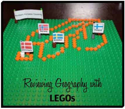
Though I don’t recommend it, we are proof that a family can complete three geography displays in a matter of hours (on the day of their homeschool group’s geography fair). When pressed for time, we made an important discovery: geography fair displays don’t have to be complicated after all!
These ideas can be adapted as a unique way to review geography memory work throughout the year.
LEGO Map Display
To make a map of Northern European Countries with LEGOs, we printed a 2×2 (4-page) map of Europe from Owl & Mouse (Your Child Learns) Printable MegaMaps to provide templates for Norway, Sweden, Finland and Denmark. To make the flags, we did an on-line image search for the flags, copied them into a document to print out, and then taped them onto light sabers!
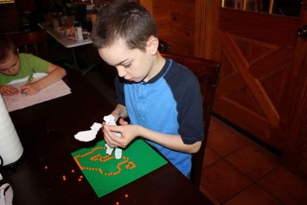
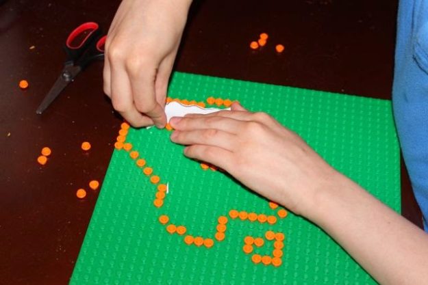
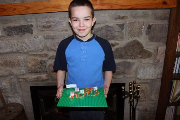
Geography + LEGOs = One Happy Boy
Bean Map Display
For Levi’s bean map, we downloaded a blank map of Europe (without all the labels) from National Geographic’s MapMaker and then printed it poster-sized across 4 pages in Adobe Acrobat Reader. After aligning and pasting the sheets onto a small poster board, we glued beans to represent European Mountains.
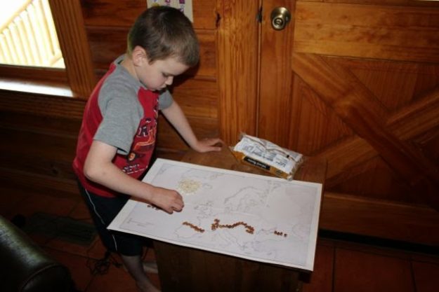
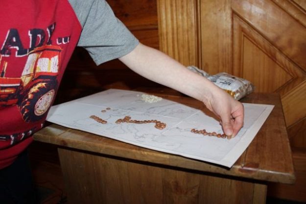
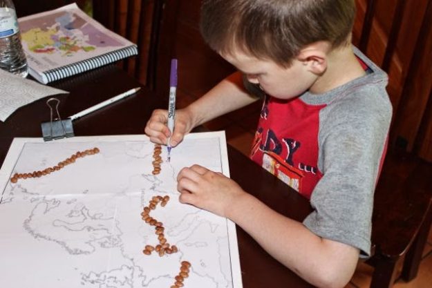
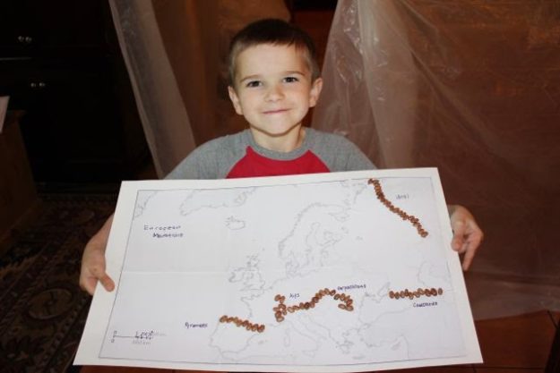
Levi loved this. I imagine beans will be a way we will review our U.S. states and capitals – and perhaps even physical features – next year! (I really like this bean thing. I just hope he doesn’t recall the M&Ms we were using earlier this year…)
Trash-to-Treasure Map Display
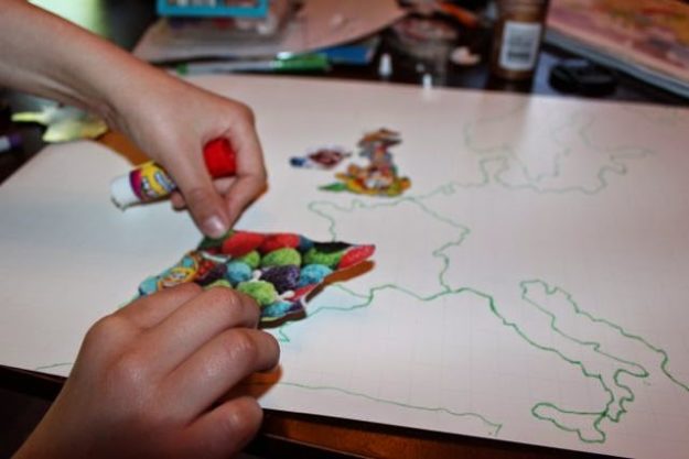
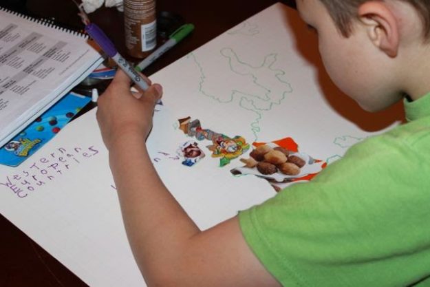
Some children collect stamps. Others collect coins. One of our children collects trash (or at least tries to). Because David has been on this trash-to-treasure kick for a few months now, we gave him the chance to use cereal boxes (you know…. from all the times we have cereal for supper) to make a map of Western European Countries.
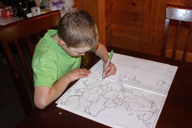
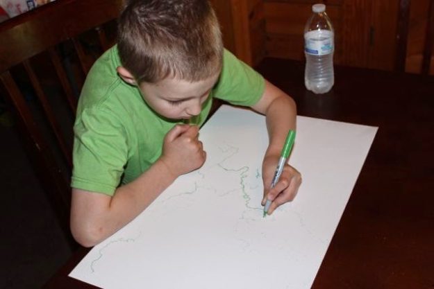
We printed a 2×2 (4-page) map of Europe on Owl & Mouse Printable MegaMaps, taped it together and traced it with marker to bleed through onto a small poster board. After removing the paper map, we traced over the Europe outline map again to make it darker on the poster board, and then we used the original papers as templates to trace and cut out the countries using cereal boxes.
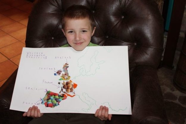
So now I’m curious to see if we will have a cereal-box puzzle of the entire USA to work with next year. If David has anything to say about it, I’m sure we will. After all, we have to do something with all these cereal boxes!
For other related posts on geography, visit:
Geography Fair
Passport to Geography
Continental Blob Maps
Tabletop Geography
Memory Work Fun with LEGOs
Africa Cookie Dough Map
Geography ArtMaps
Indus River Valley Clay Model
Byzantine Empire & Paul’s Missionary Journeys
United States Geography Resources
World Geography Resources

