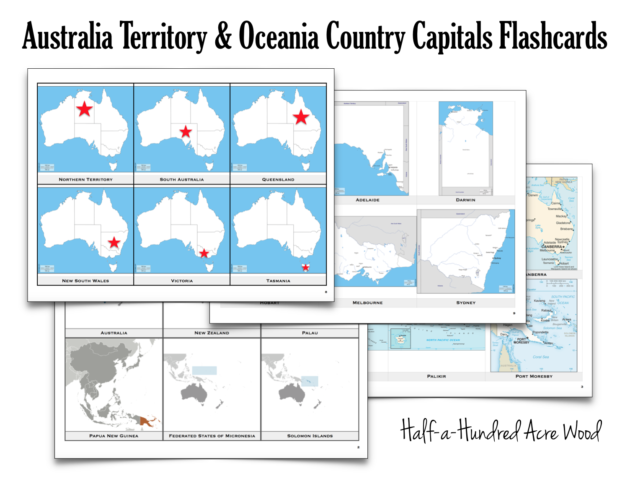
It’s the final leg of our trip around the world via flashcards! We are now headed into Australia and Oceania. If you missed our previous countries & capitals flashcards, be sure to scroll to the bottom of this post to download all of them!
A few things (disclaimers, provisos, quid pro quo) about these cards:
- For the Oceania island locator maps, you may need a microscope to see which islands are highlighted. These are the maps I originally downloaded and used to make our flashcards, and I will likely not get around to sprucing them up with better island locator maps. To accommodate for this challenge, we’re placing the cards on a ring in the order that they are drawn.
- Unlike the European Flashcards, these flashcards don’t include an option without the names on the country side. To drill which country is which, we are simply covering up the country name that’s on the bottom of the flashcard.
Alrighty! You can download the Australia Territory & Capitals Flashcards with the Oceania Country & Capital Flashcards by clicking on the link below:
HHAW Australia & Oceania Countries Capitals Flashcards
When printing with Adobe Acrobat Reader, be sure to select “Actual Size” under the “Page Sizing and Handling” section. When printing in Mac Preview, be sure the print scale is set to 100%.
If you prefer not to print flashcards…
Check out Memoria Press’s flashcards. This is a great alternative to printing and cutting them out yourself!
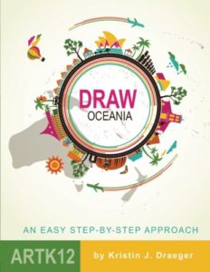
If you’re memorizing how to draw the world freehand, we also highly recommend the entire Draw the… [Continent] books by Kristin Draeger.
We use Draw the World and Draw the USA in our Mission: Great Commission curriculum.
Draw Oceania
Learn to draw Australia and Oceania from memory! Draw Oceania provides students with a simple method of committing an outline map of this region of the world to memory. Through simple, step-by-step instructions, students learn to draw Australia and the Pacific Islands.
Suggested grades: Elementary through High School
Price: $19.95
Format: Paperback.

 Draw the World
Learn to draw the world from memory! Draw the World provides students with a simple method of committing a continent outline map of the world to memory. Through simple, step-by-step instructions, students learn to draw each continent as it connects to neighboring continents. This resource is also used in the Mission Pacific Peacemakers Six-Week Unit Study.
Suggested grades: Elementary through High School
Price: $19.95
Format: Paperback.

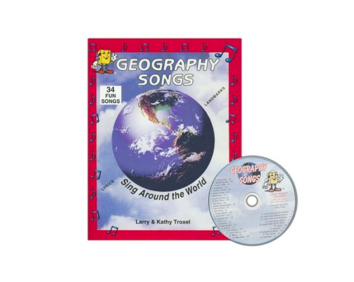
Fortunately, we’ve already memorized all the countries of the world through Kathy Troxel’s Audio Memory Geography Songs CD/Bookletwhich is used in our Mission: World Wonders and Mission: Faith Forgers curriculum plans.
Geography Songs CD, Book, & Map Kit
Memorize the world through song with Geography Songs! Divided by geographical regions, these echo-style songs make it simple to memorize the countries of the world. The audio CD includes 34 songs that teach the names of 225 countries, the continents & oceans, and the planets of the solar system. This resource is used in
Suggested grades: Elementary through Middle School
Price: $22.95
Format: Kit consists of an audio CD, a 25″ x 36″ world map with items to label and song lyrics, and a family-reproducible workbook with lyrics and maps. Purchase here on Christian Book Distributors.

If you’re looking for maps to practice tracing the world, visit Map Tracing: A Geography Plan with Printable Atlas. To learn how to draw each continent freehand, check out the Chalk Pastels Membership (which includes hundreds of simple art projects to reinforce history, literature, science, and other subjects.)
Please feel free to share a link to this post with others. Please do not re-post these files on other websites (including Facebook). For more information, please read our Terms of Use.


