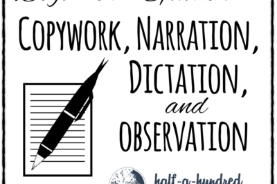
Copywork, Dictation, Narration, and Observation are three tools we are learning to use for: Listening and paying attention to details Imitating the “masters” of poetry, writing, and storytelling Learning punctuation, capitalization, sentence structure and parts of speech. If done well and consistently, copywork and dictation are a fantastic foundation for English grammar in the early […]
Classical Conversations for Beginners
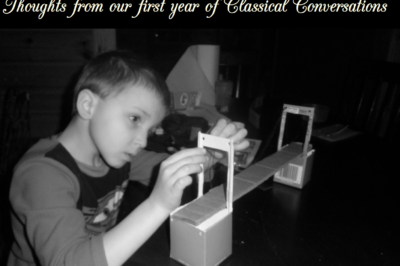
This article has been updated and republished from the archives. I wrote it right after our first year with Classical Conversations on July 21, 2011. I have kept several things the same (which means it references Cycle 2 because that was our first year in Classical Conversations), but I’ve also included a few updates because […]
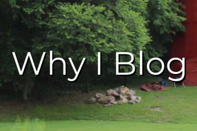
Why I Blog
In case you’re curious, I wanted to tell you why I invest the time to blog when I could be taking a long, hot bubble bath (or just sleep!) instead. Our number one reason was my husband. This blog was originally created as a tool for connecting with Daddy when he’s at work on a […]
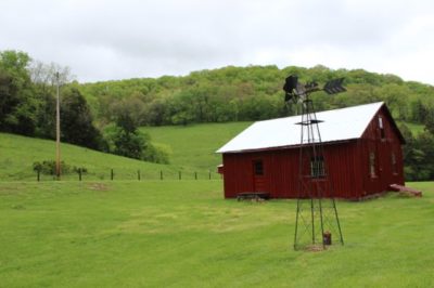
Half-a-Hundred Acre Wood, the Place
to my husband a world away. we miss you!
New Testament Hands-On History
Although our original plan for this year was to complete the Homeschool in the Woods Great Empires Project Pak with our ancient history & world empires studies, those plans fell through the cracks due to eye surgery and everything else in the whole wide world that happened this year. And although our history sentence songs […]
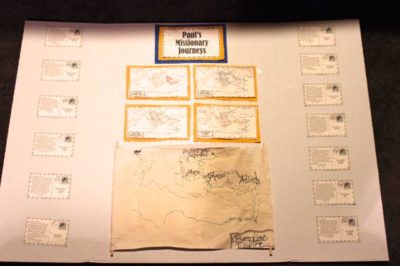
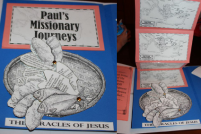
Byzantine Empire & Paul’s Missionary Journeys
For our Geography Fair, David chose to make a pirate map of the Byzantine Empire. We soaked an 11″x17″ piece of paper in tea. After it dried, we taped the reduced size of Rod & Staff’s Journeys of Paul Markable Map (taken from the Rod & Staff student workbook) to a window and traced it onto the paper. David […]
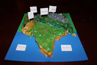
Indus River Valley Clay Model
….And for the Geography Fair, Stephen chose to make the Indus River Valley out of Crayola’s Air Dry clay and then paint it with acrylics. A word of warning: This stuff is fairly easy to mold, but it chips and breaks easily. And it takes a long time for it to dry. I much prefer […]
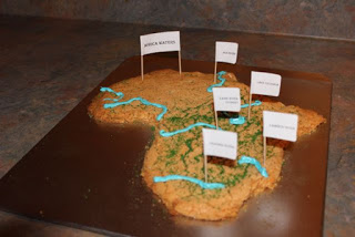
Africa Cookie Dough Map
…So we had our Geography Fair this week as part of our End-of-Year festivities. And Levi chose Africa Waters and wanted to it to be a cookie so he could eat it. I’m not one to make homemade cookies very often, so I naturally pulled out the handy-dandy box cookies: Pillsbury Orange Dreamsicle. I have […]
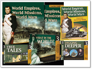
World Empires, World Missions, World Wars Review
It certainly has been a time of curriculum review for us as a family. I’m aiming to develop a simple reading plan and select programs and activities my children like. But above all I want to nurture our relationships as a family and show my children the unfailing love of Christ. And I want them […]