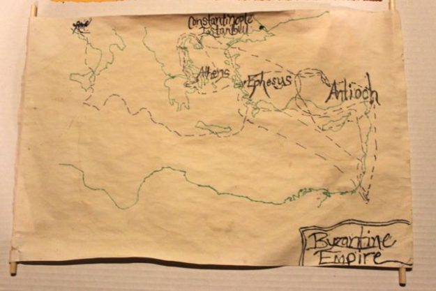
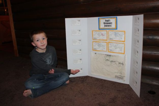
For our Geography Fair, David chose to make a pirate map of the Byzantine Empire.
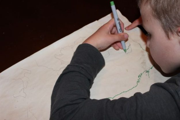
We soaked an 11″x17″ piece of paper in tea. After it dried, we taped the reduced size of Rod & Staff’s Journeys of Paul Markable Map (taken from the Rod & Staff student workbook) to a window and traced it onto the paper. David then traced the pencil markings with a marker.

Then we plotted Paul’s Missionary Journeys as our pirate trail.

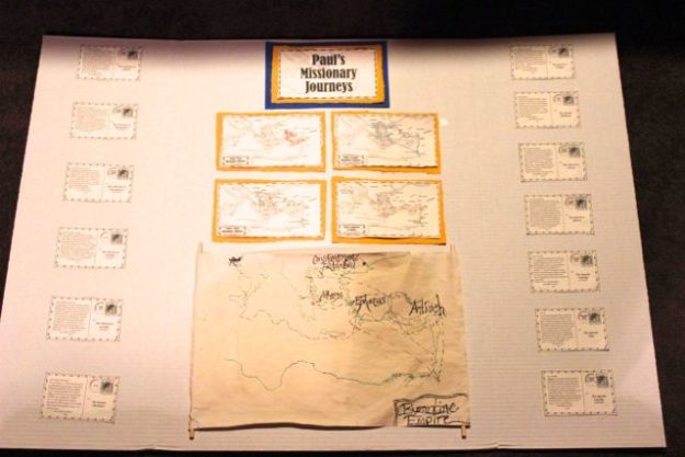
Fortunately, we have also been working through the New Testament Activity Pak (more about that here!), so we included the maps from that project pack. We also added the postcards of Paul, which state the overall message of each of the books of the New Testament that he authored, along with an approximate date of the writing.


